
The Meadoway
Visualization Toolkit
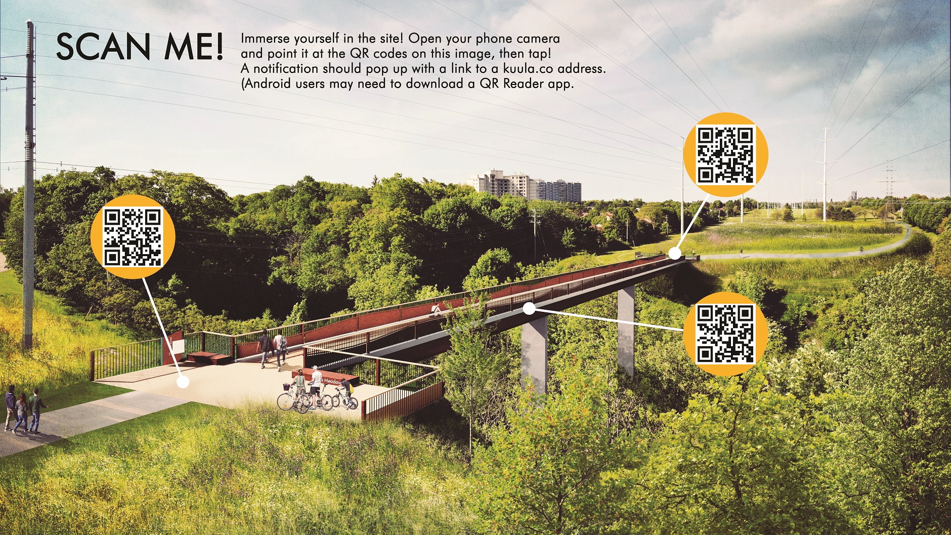
Toronto and Region Conservation Authority (TRCA) has partnered with Perkins+Will and Future Landscapes to develop a visualization toolkit that demonstrates the potential future look and feel of The Meadoway.
The purpose of this tool is to amplify and celebrate The Meadoway through a compelling visual identity and narrative. It includes conceptual renderings, sketches and animations.
Explore the Toolkit
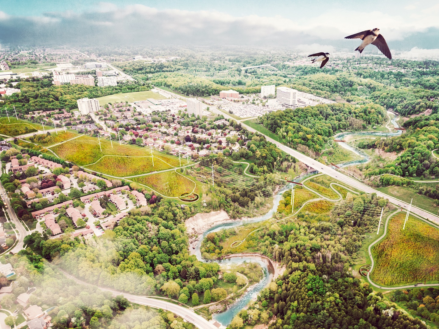
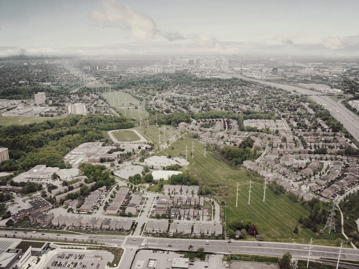
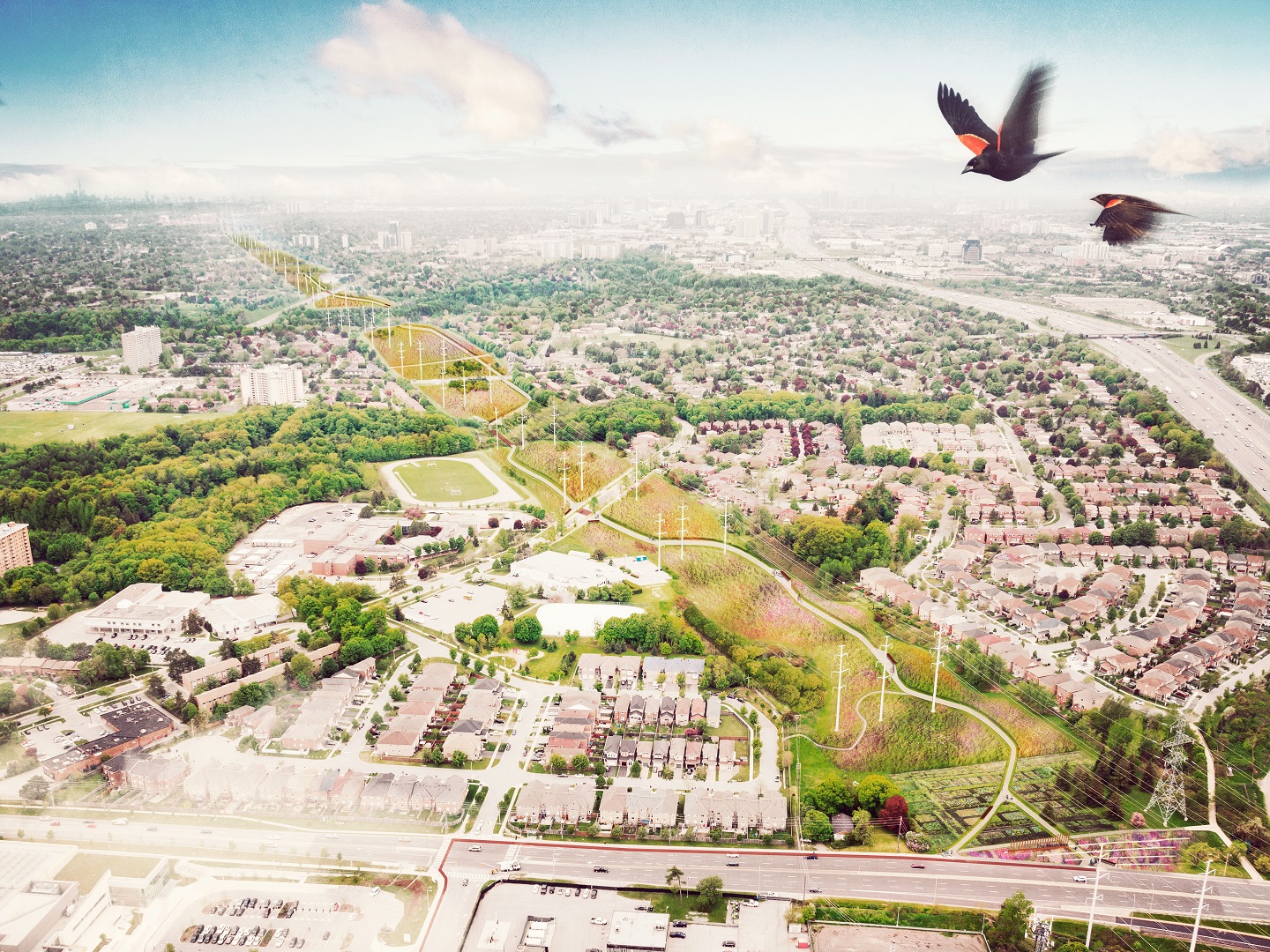
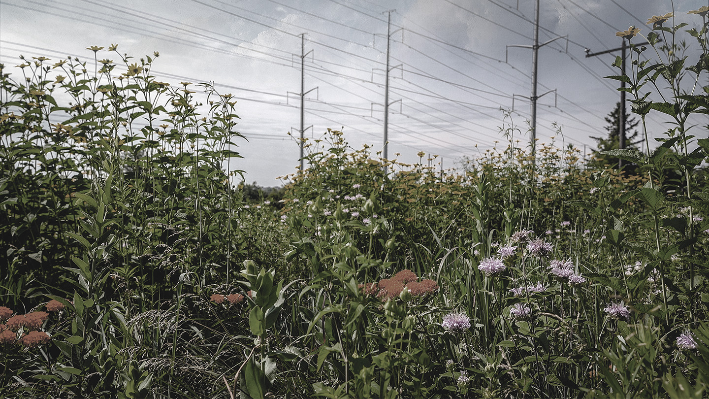
CONCEPTUAL RENDERINGS
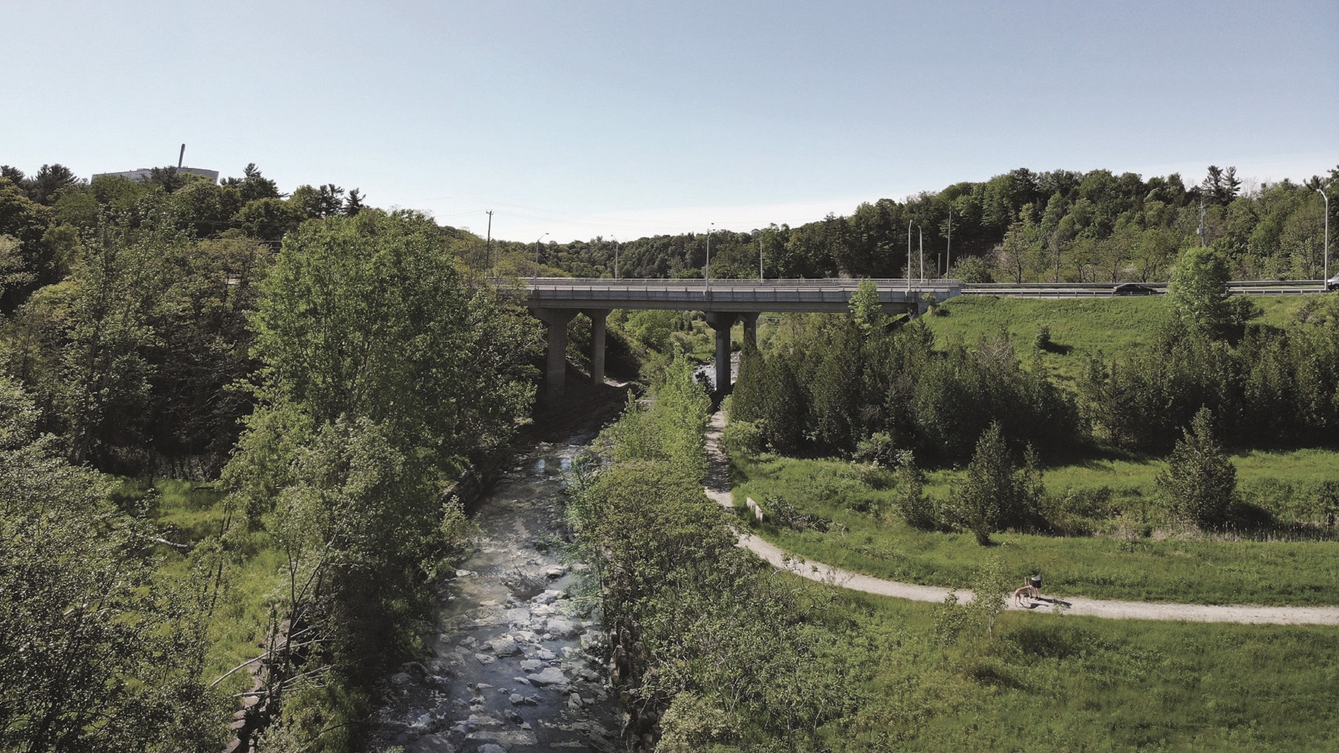
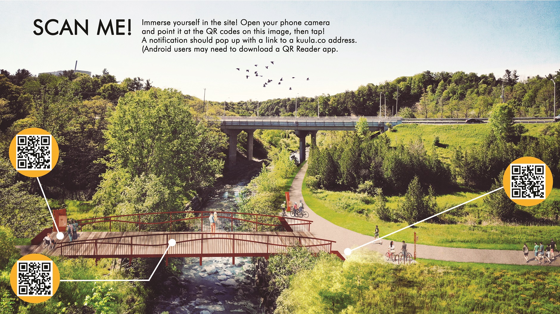
Ellesmere Ravine Crossing
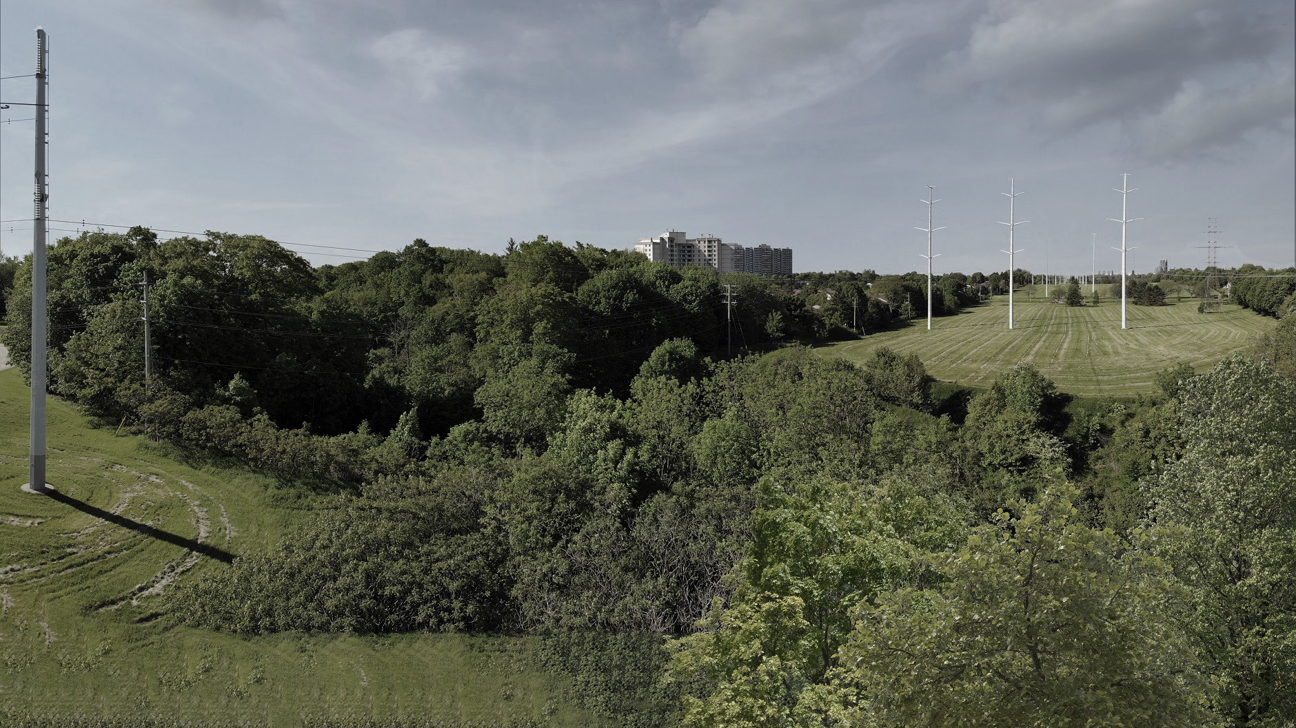
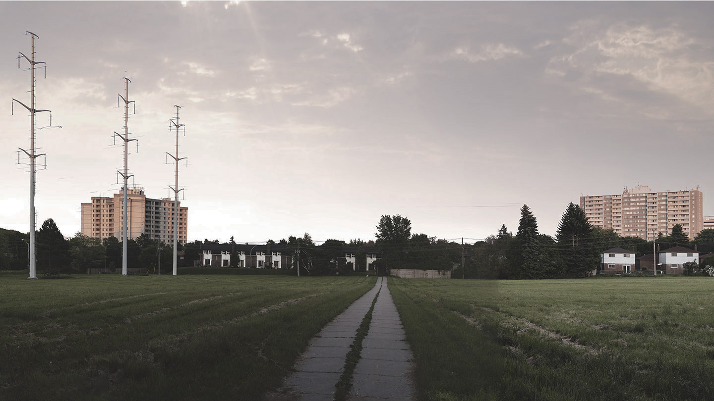
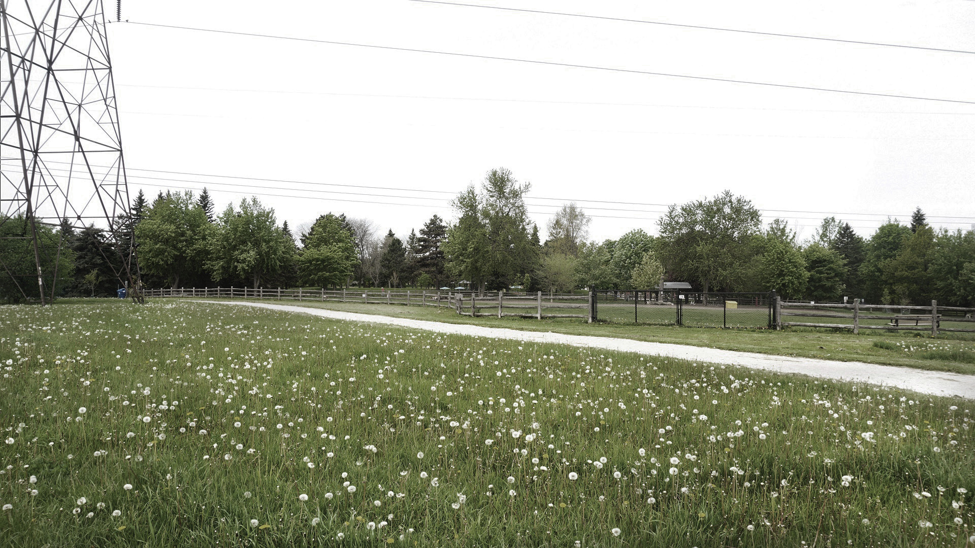
Before
Multi-Use Trail Intersections
Before
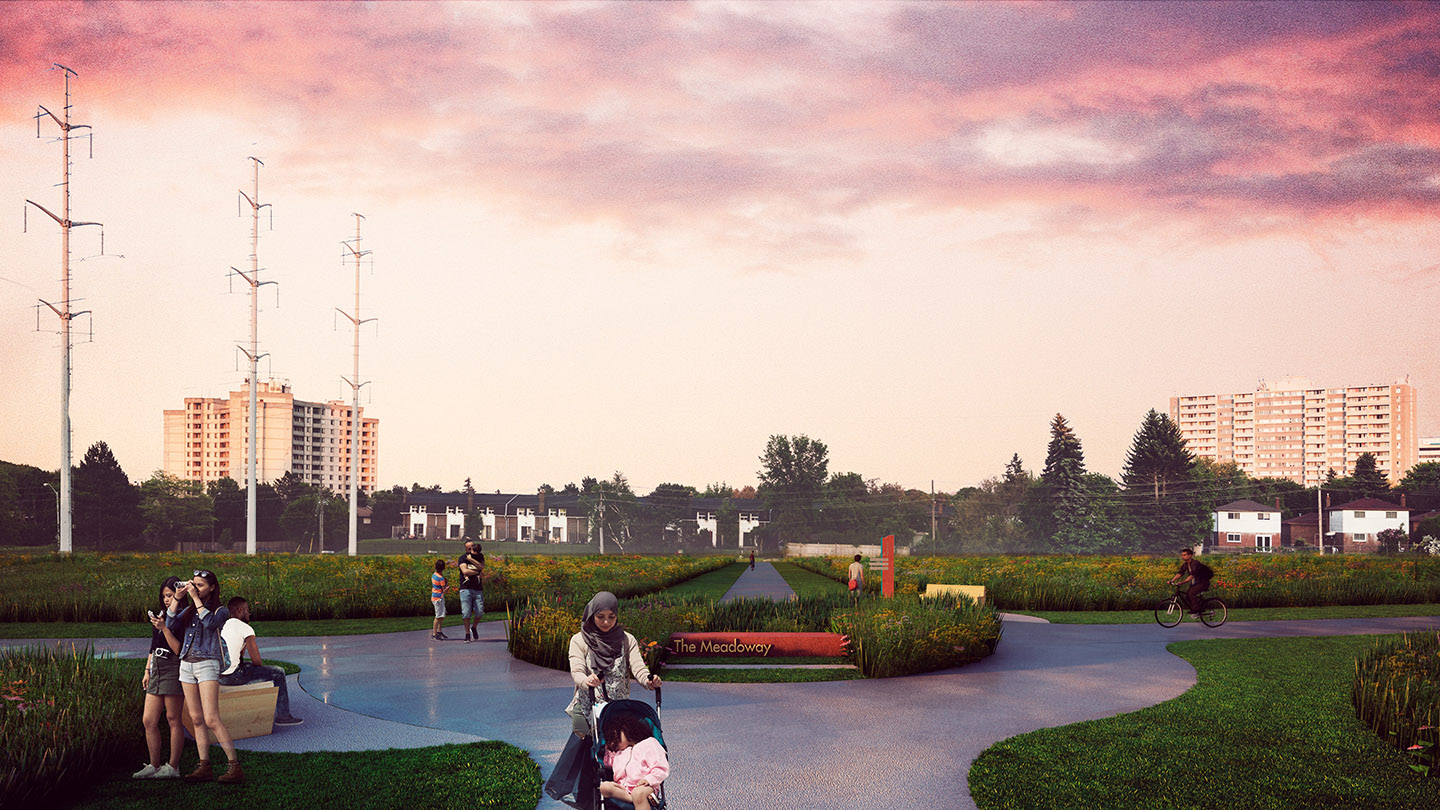
After
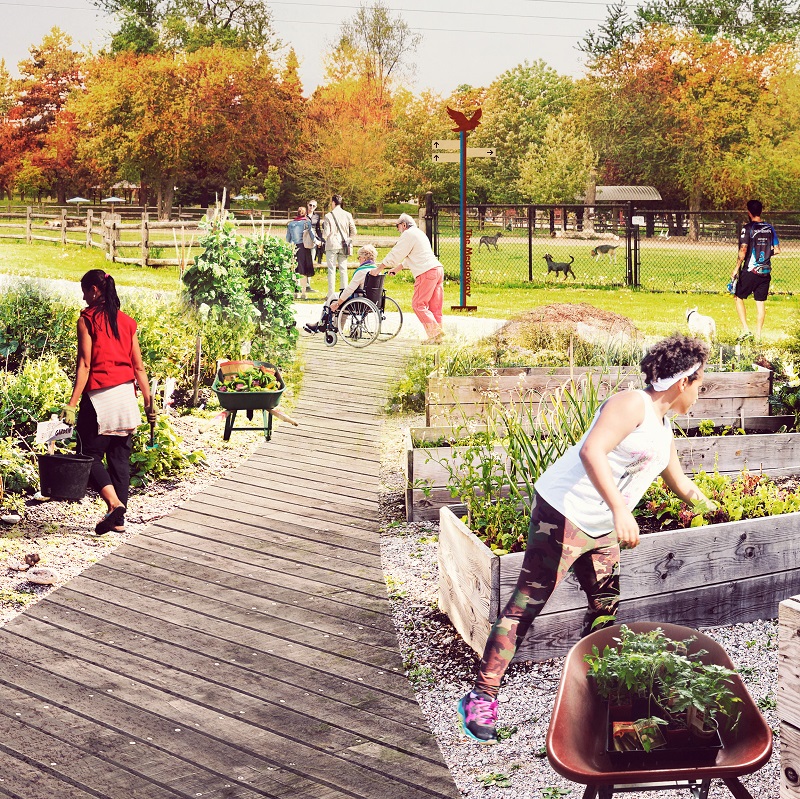
Urban Agriculture
Before
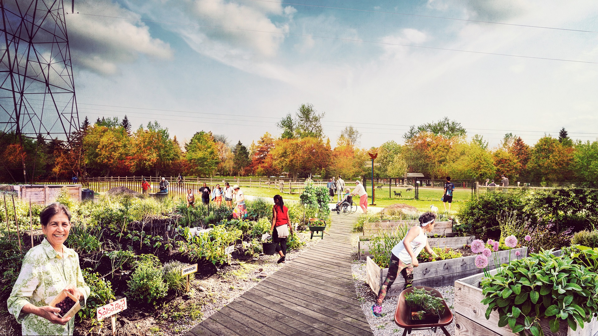
After
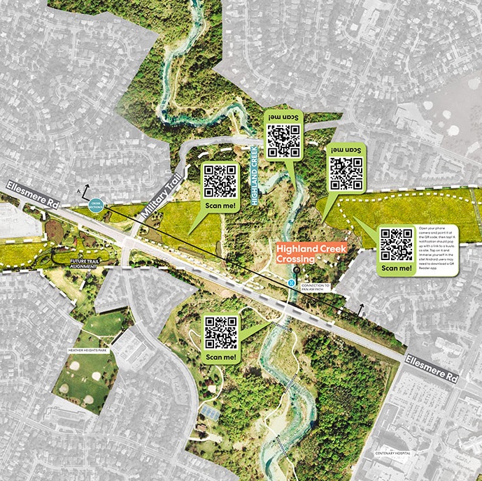
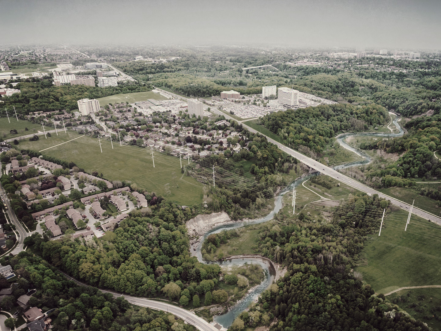
Highland Creek Crossing
Before
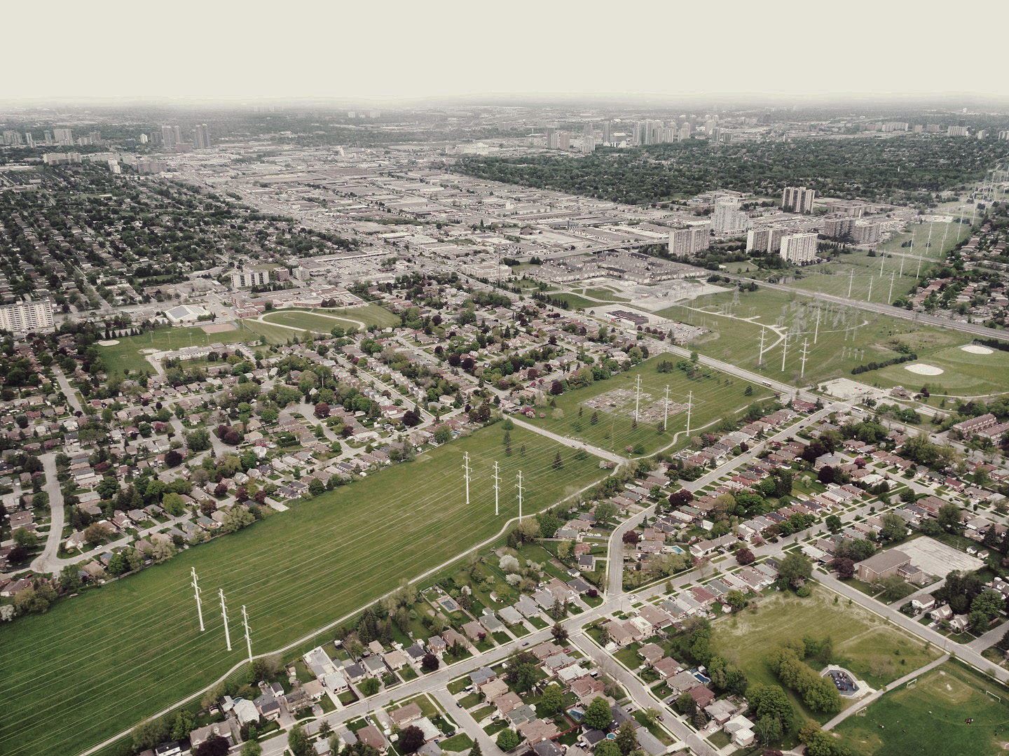
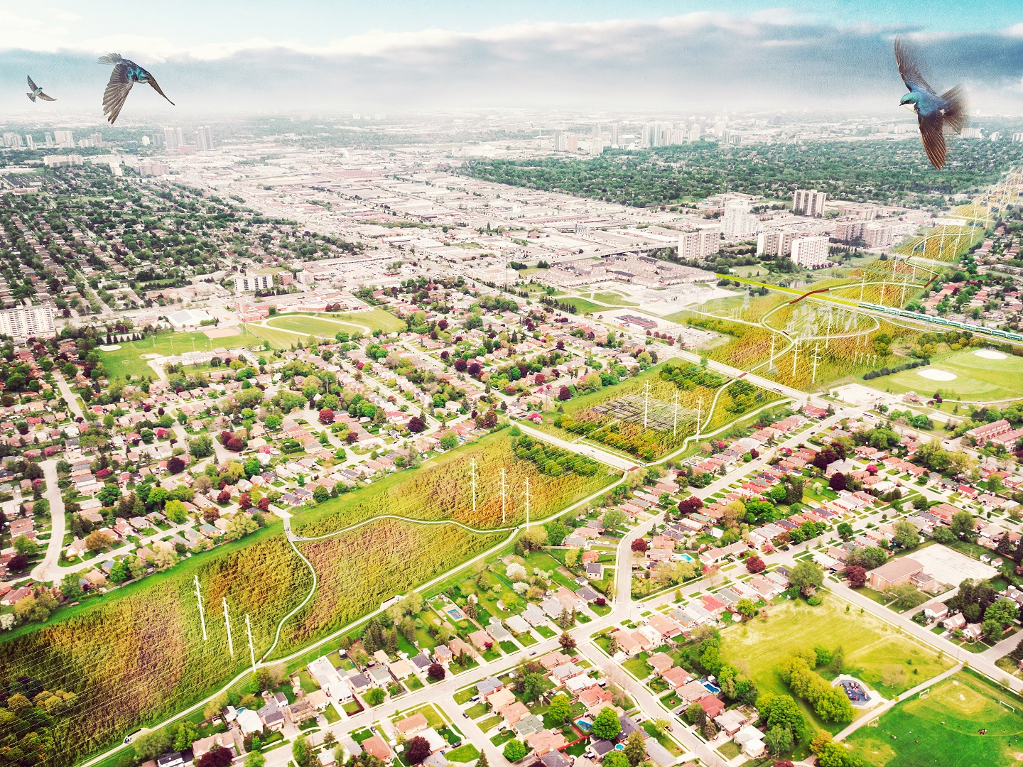
Western Gateway
Before
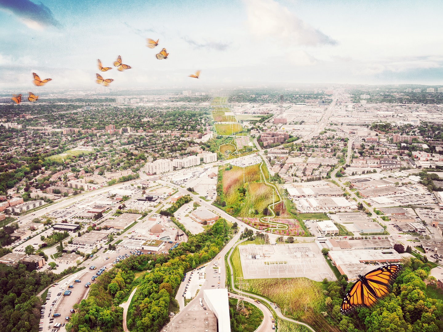
After
Givendale Gardens
Before
After
Highland Creek
Before
After
Eastern Entrance
Before
After
Child’s Eye View
Before

After
Wetland Zone
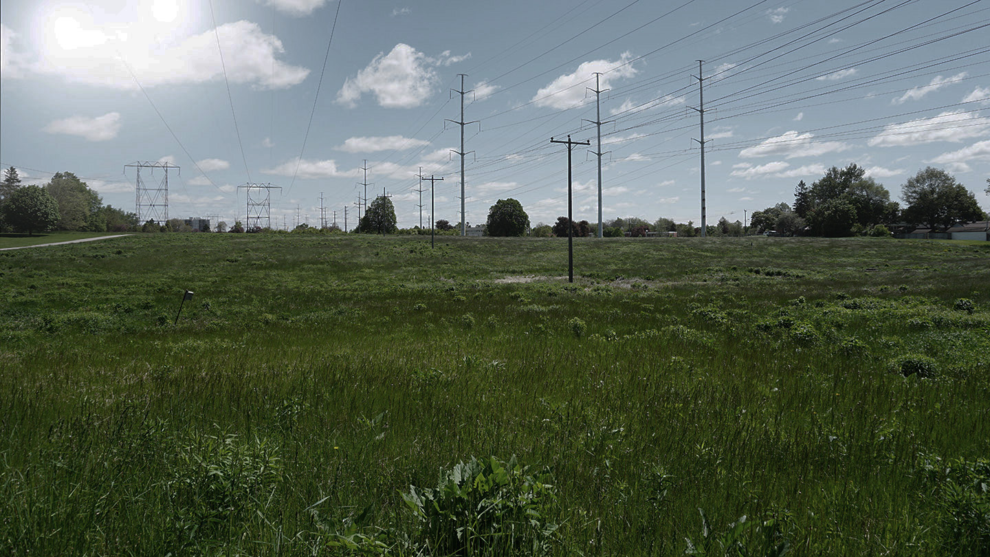
Before
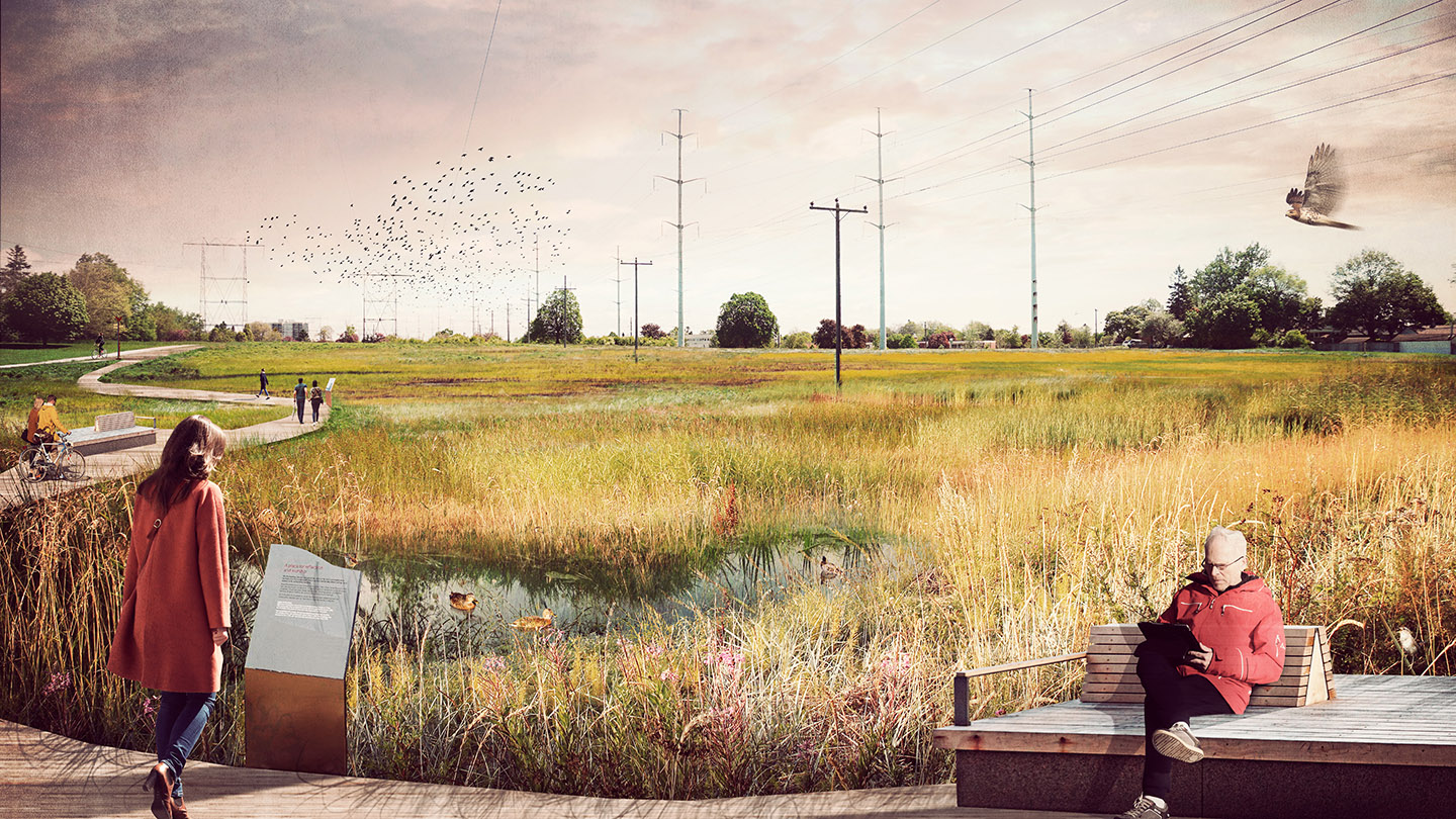
After
Morningside Meadows
Before
After
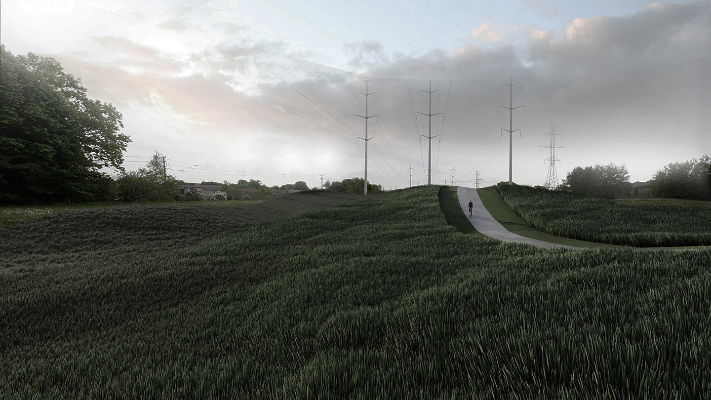
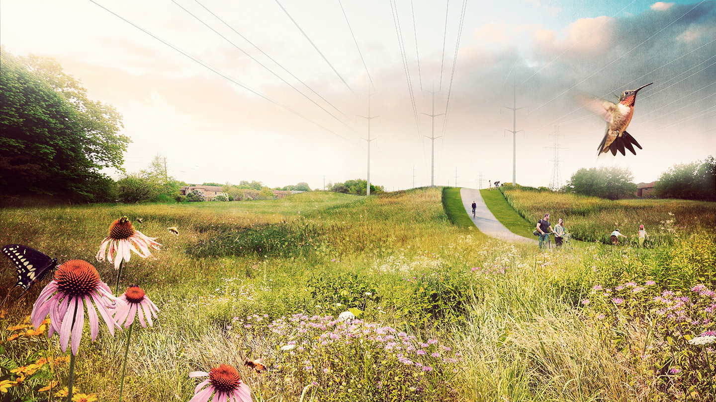
Road Crossings
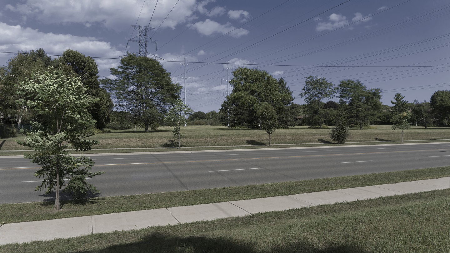
Before
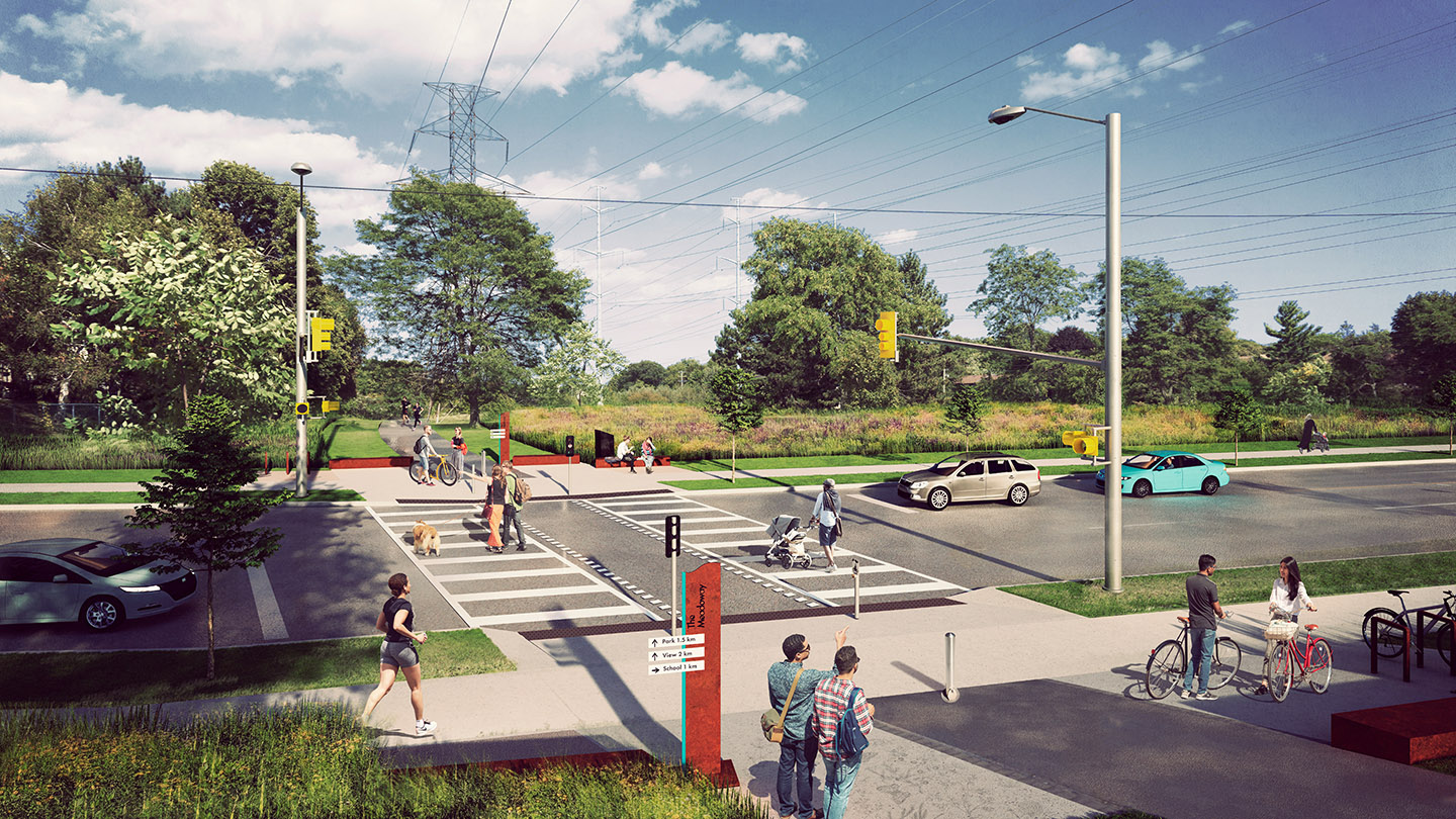
After
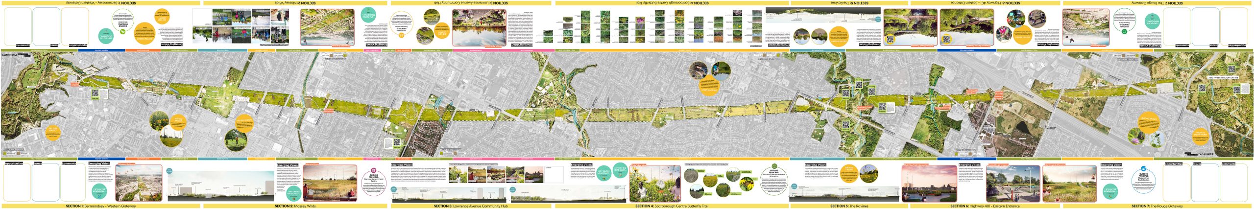
VISUALIZATION TOOLKIT MAP
This map, which spans an impressive seven metres, was developed as a tool for our public engagement events. Participants can view the entire length of The Meadoway, point out areas of opportunity, and offer feedback.
The edge of the map features a variety of “mini-activities” that provide supplemental information and encourage further conversation.
The map is fully labelled, highlighting community connections, future trail alignments, future crossings, and natural corridors.
VISUALIZATION TOOLKIT REPORT
At the beginning of the year-long project to develop the Visualization Toolkit, Perkins and Will issued an extensive report with case studies and an overview.
You can download a PDF copy of the report HERE, or view the report using the document reader below. Select Read Now for a full-screen view; select the arrow to the right to advance to the next page.